Facility Details
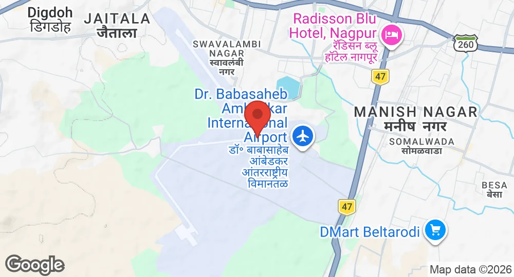
21.0922°N, 79.0472°E · 315 m elevation
| Operating Country | 🇮🇳 India |
| Location | 🇮🇳 India |
| Status | Active |
| Usage | Dual |
| Year built | 1917 |
| Operating Organization | Indian Air Force |
| Units |
44 WingNo. 159 Helicopter Unit
|
| Elevation | 315 m (1,033 ft) |
| IATA code | NAG |
| ICAO code | VANP |
| Runways |
14/32 · 3,200 m (10,499 ft) · Asphalt
|
Description
Dr. Babasaheb Ambedkar International Airport, also known as Nagpur Air Force Station, is an international airport serving Nagpur, Maharashtra, India. It operates as a dual-use facility, accommodating both civilian and military aviation. The airport was initially commissioned during the First World War in 1917-18 for the Royal Flying Corps (RFC) and Royal Air Force (RAF). Its old buildings were renovated during the Second World War when it served as a staging airfield for the RAF. Following British departure, it was transferred to the Indian Government.
Over the years, the airport primarily handled civilian aircraft until 2003, when the 44 Wing of the Indian Air Force (IAF) was formed and Il-76 military transport aircraft were transferred to the base. The airport is home to Nagpur Air Force Station, which falls under the Maintenance Command of the Indian Air Force. Expansion plans for the airport include the construction of a second runway, a new terminal building, and a cargo complex. The Maharashtra government offered land to the IAF in exchange for land occupied by the Air Force Station to facilitate this development.
- AUG 132026 Updated Runway records reconciled against aeronautical sources
- AUG 12026 Updated Runways and units updated
- APR 82026 Updated Sources and cross-references refreshed