Facility Details
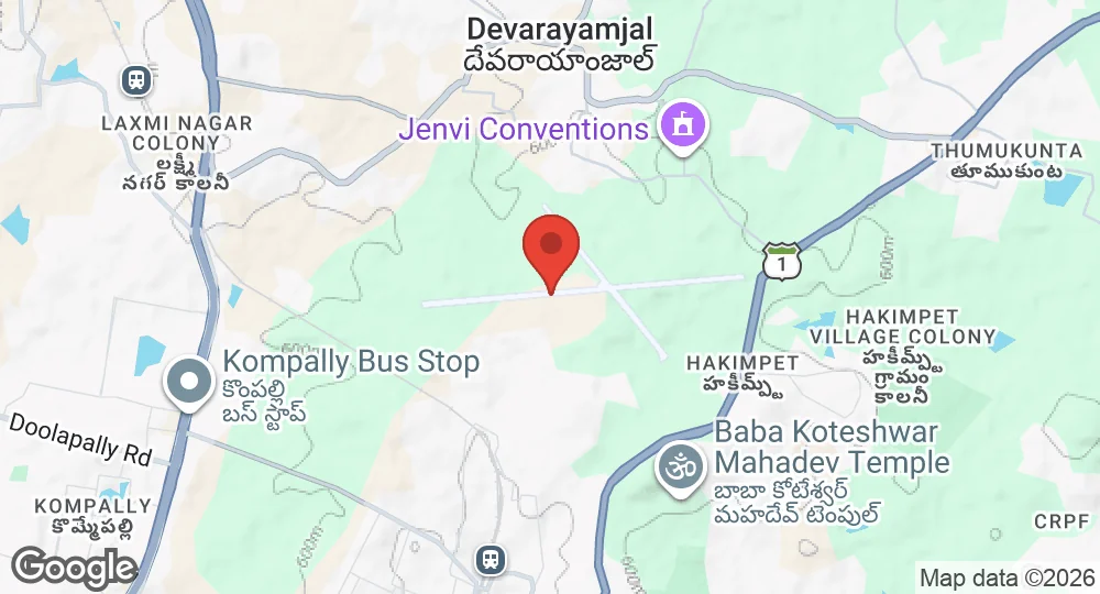
17.5529°N, 78.5202°E · 616 m elevation
| Operating Country | 🇮🇳 India |
| Location | 🇮🇳 India |
| Status | Active |
| Usage | Military only |
| Operating Organization | Indian Air Force |
| Units |
Fighter Training WingHelicopter Training SchoolNo. 43 Equipment Depot
|
| Elevation | 616 m (2,021 ft) |
| ICAO code | VOHK |
| Runways |
09/27 · 2,095 m (6,873 ft) · Asphalt/Concrete
|
Description
Hakimpet Air Force Station is an Indian Air Force base in Telangana, situated 25 kilometres north of Hyderabad's Nampally Railway Station and 18 kilometres north of Secunderabad Railway Junction. The airfield was used during the Second World War as a transit field by the Royal Air Force. Following Indian independence, with the Nizam of Hyderabad withholding accession until after Operation Polo, the airfield fell into disuse.
In 1951 the Conversion and Training Unit (CTU) was established at Hakimpet to provide fighter conversion training to newly commissioned IAF pilots. Following the withdrawal of propeller-driven aircraft, the CTU was redesignated the Jet Training Wing (JTW) in 1958. In June 1964 the unit was merged with No. 2 JTW, then based at Bidar, and renamed the Fighter Training Wing. The installation was elevated to Air Force Station status in December 1984. A station museum was established in 2001.
Hakimpet AFS operates under IAF Training Command. Resident units include the Fighter Training Wing, the Helicopter Training School, No. 43 Equipment Depot and associated ancillary units. The station has a single east–west runway designated 09–27.
- AUG 302026 Updated Description updated
- AUG 12026 Updated Runways updated
- APR 82026 Updated Sources and cross-references refreshed