El Lencero Airport (Antonio Chedraui Caram Airport)
El Lencero Airport (also Antonio Chedraui Caram Airport; ICAO MMJA) is an active joint civil-military airfield in Mexico, operated by the Servicios Aeroportuarios de Veracruz. It has 1 runway (1,700 m). Home to Mexican Air Force.
Facility Details
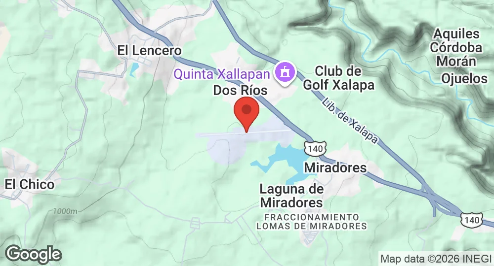
19.4750°N, 96.7975°W · 955 m elevation
| Operating Country | 🇲🇽 Mexico |
| Location | 🇲🇽 Mexico |
| Status | Active |
| Usage | Dual |
| Operating Organization | Servicios Aeroportuarios de Veracruz |
| Units |
Mexican Air Force
|
| Elevation | 955 m (3,133 ft) |
| IATA code | JAL |
| ICAO code | MMJA |
| Runways |
08/26 · 1,700 m (5,577 ft) · Asphalt
|
- 74 km Veracruz Naval Air Base 1st Maritime Patrol Naval Air Squad
- 148 km Atlangatepec Air Force Station 601st Air Squad
- 181 km Loma Bonita Air Force Station 6th Motorized Cavalry Regiment Centinelas del Papaloapan
- 239 km Mexico City International Airport High Command Special Air Transport Unit (UETAAM)
- 240 km Felipe Ángeles International Airport 401 Air Squadron
- 264 km Santa Gertrudis Air Force Base Escuela Militar de Aplicación AeroTáctica de la Fuerza Aérea (EMAATFA)
Description
El Lencero Airport, officially Aeropuerto El Lencero-Antonio Chedraui Caram, is located in Emiliano Zapata, Veracruz, 13 kilometers southeast of Xalapa. The facility is operated by the state-owned entity Servicios Aeroportuarios de Veracruz. It is named after the town of El Lencero and entrepreneur Antonio Chedraui Caram.
Between 1998 and 2017, the airport supported daily commercial flights to Mexico City operated by Aeromar. Current operations are limited to general aviation, executive flight services, and flight training activities. The facility does not host scheduled commercial passenger flights.
Infrastructure at the site includes a runway, a passenger terminal, and several hangars. The apron is configured with helipads and parking positions for small aircraft. The facility utilizes AFIS UNICOM frequency 123.3 MHz for operations between dawn and dusk. Due to terrain rising to the west of the facility, landing approaches from that direction require a steeper than normal glide slope. Regional meteorological conditions frequently include fog and low ceilings, with prevailing winds typically originating from the east-southeast. During the polar front season from October to May, the site is subject to winds from the north.
- AUG 132026 Updated Runway designations, surfaces and lengths recorded
- APR 102026 Created Page created: El Lencero Airport