Nakhchivan International Airport
Nakhchivan International Airport (ICAO UBBN) is an active joint civil-military airfield in Azerbaijan, operated by the Government of Azerbaijan. It has 2 runways (longest 3,300 m).
Facility Details
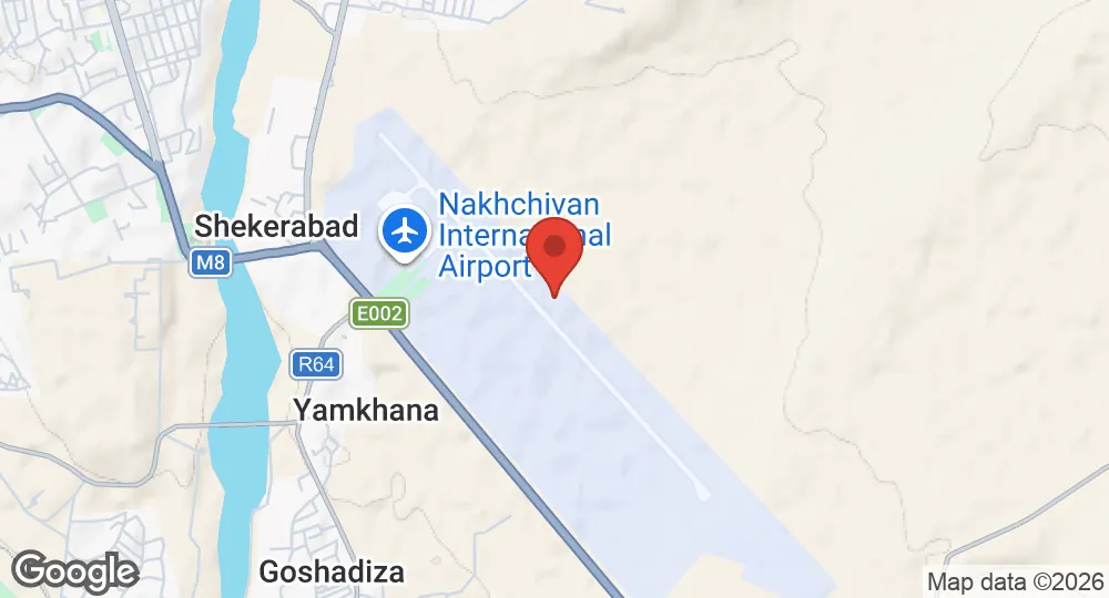
39.1886°N, 45.4583°E · 873 m elevation
| Operating Country | 🇦🇿 Azerbaijan |
| Location | 🇦🇿 Azerbaijan |
| Status | Active |
| Usage | Dual |
| Year built | 1976 |
| Operating Organization | Government of Azerbaijan |
| Elevation | 873 m (2,864 ft) |
| IATA code | NAJ |
| ICAO code | UBBN |
| Runways |
14R/32L · 3,300 m (10,827 ft) · Concrete14L/32R · 3,300 m (10,827 ft) · Asphalt
|
| Website | airportnakhchivan.com |
Description
Nakhchivan International Airport is a dual-use public airport and military airbase located in Nakhchivan City, the capital of the Nakhchivan Autonomous Republic, an exclave of Azerbaijan. Owned by the Government of Azerbaijan, the installation serves as an Azerbaijani Air Force base alongside civilian commercial aviation operations.
Construction of the airfield took place between 1974 and 1976. On 5 March 2026, Iranian missiles and drones struck the airport area during the 2026 Iran War. The attack resulted in the temporary closure of the facility, during which air traffic was diverted to Iğdır Airport in neighboring Turkey.
The site's infrastructure includes a main terminal building and airfield facilities capable of supporting both military operations and commercial passenger traffic. Scheduled civilian flights at the airport are operated by carriers including AJet, Azerbaijan Airlines, Turkish Airlines, and Utair, serving routes to Baku, Ganja, Istanbul, and Moscow.
- AUG 132026 Updated Runway designations, surfaces and lengths recorded
- AUG 112026 Created Page created: Nakhchivan International Airport