Nampong Air Force Base (Myitkyina West)
Nampong Air Force Base (also Myitkyina West; ICAO VYNP) is an active military air base in Myanmar, operated by the Myanmar Air Force. It has 1 runway (3,360 m).
Facility Details
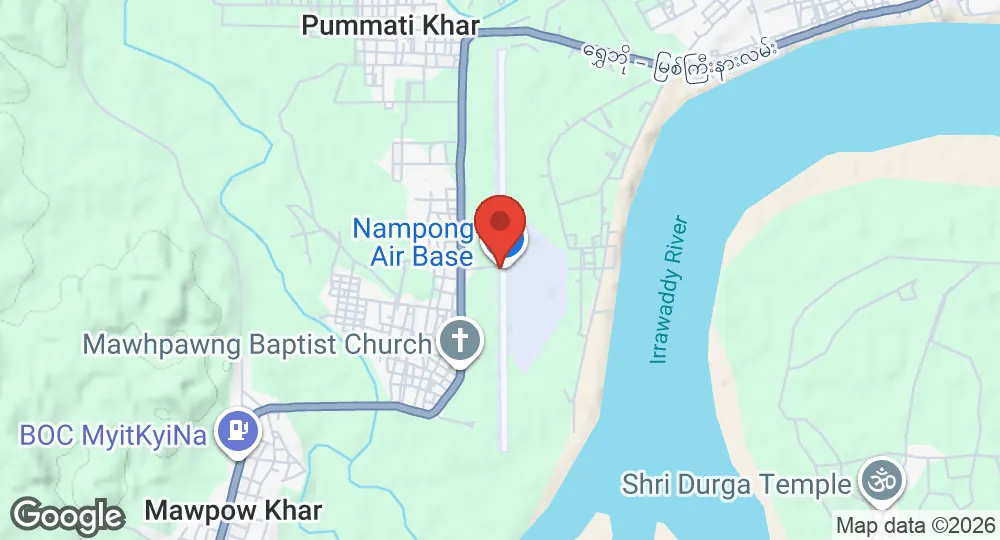
25.3526°N, 97.2949°E · 140 m elevation
| Operating Country | 🇲🇲 Myanmar |
| Location | 🇲🇲 Myanmar |
| Status | Active |
| Usage | Military only |
| Operating Organization | Myanmar Air Force |
| Elevation | 140 m (459 ft) |
| ICAO code | VYNP |
| Runways |
18/36 · 3,360 m (11,024 ft) · Asphalt
|
Description
Nampong Air Force Base, formerly known as Myitkyina West, is a Myanmar Air Force base located several miles west of Myitkyina in northern Myanmar. It remains in military use and hosts a fighter squadron and an attack squadron.
The Allies built the airfield during the Second World War as Namponmao Airfield. It served mainly as a transport facility during the Burma Campaign of 1944–1945. Beginning in June 1945, the Tenth Air Force's 4th Combat Cargo Group operated C-46 Commandos from the airfield as a combat resupply base, air-dropping pallets of supplies and ammunition to advancing Allied ground forces.
After Japanese forces in Burma were defeated, the 4th Combat Cargo Group began cargo and passenger flights over "the Hump," the air route across the Himalayas, to and from China. These operations included supporting the movement of the 3d Combat Cargo Group to Shanghai. American forces left the airfield in November 1945 at the end of the war.
- SEP 182026 Created Page created: Nampong Air Force Base