RRH Mount Kent
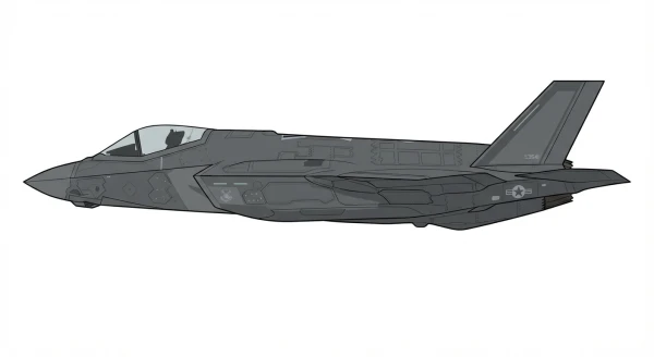
RRH Mount Kent is an active military air base in the United Kingdom, operated by the Royal Air Force. Home to British Forces South Atlantic Islands, flying F-35 Lightning II.
Facility Details
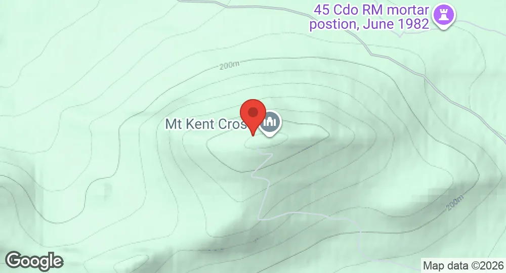
51.6735°S, 58.1130°W · 458 m elevation
| Operating Country | 🇬🇧 United Kingdom |
| Location | 🇬🇧 United Kingdom |
| Status | Active |
| Usage | Military only |
| Operating Organization | Royal Air Force |
| Units |
British Forces South Atlantic Islands
|
| Elevation | 458 m (1,503 ft) |
Description
Mount Kent is a hill on East Falkland, Falkland Islands. Its summit is occupied by the Remote Radar Head (RRH) Mount Kent, operated by the British Forces South Atlantic Islands (BFSAI). This installation is part of an early warning and airspace control network that also includes RRH Mount Alice and RRH Byron Heights on West Falkland. The area saw military action during the Falklands War, specifically during the Assault on Mount Kent, which was part of the Battle of Mount Harriet. Some parts of the location remain mined from that conflict.
- AUG 142026 Updated Based aircraft recorded: F-35 Lightning II