Sary-Arka Airport
Sary-Arka Airport (ICAO UAKK) is an active joint civil-military airfield in Kazakhstan, operated by the Armed Forces of the Republic of Kazakhstan. It has 1 runway (3,602 m). Home to the 610th Air Base.
Facility Details
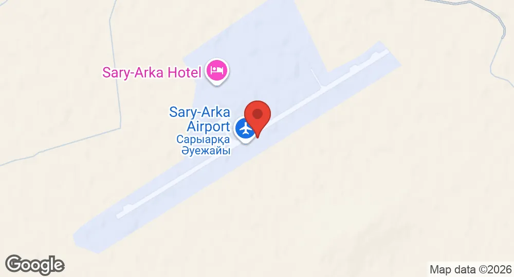
49.6714°N, 73.3364°E · 538 m elevation
| Operating Country | 🇰🇿 Kazakhstan |
| Location | 🇰🇿 Kazakhstan |
| Status | Active |
| Usage | Dual |
| Year built | 1934 |
| Operating Organization | Armed Forces of the Republic of Kazakhstan |
| Units |
610th Air Base
|
| Elevation | 538 m (1,765 ft) |
| IATA code | KGF |
| ICAO code | UAKK |
| Runways |
05/23 · 3,602 m (11,818 ft) · Concrete
|
| Website | www.kgf.aero |
Description
Sary-Arka Airport is located 24 kilometers southeast of Karaganda, Kazakhstan. The initial facility was established in 1934 near the city center and relocated to its present site in 1944. In 1980, the airport underwent reconstruction, which included the addition of a new terminal and the modernization of the runway to accommodate heavier aircraft. The facility received international status in 1992 and transitioned into an independent joint-stock company in 1997 following its separation from JSC Karagandaavia.
The airport hosts the 610th Air Base of the Armed Forces of the Republic of Kazakhstan. It operates as a fast jet base, housing units equipped with MiG-31, Su-27, and Su-25 aircraft. The airport also functions as a staging area for returning International Space Station crew members, facilitating their transit to the Yuri Gagarin Cosmonaut Training Center, the Johnson Space Center, and the European Astronaut Centre following their capsule landings.
- AUG 132026 Updated Runway records recorded, with elevation, airport codes and official website
- AUG 132026 Created Sary-Arka Airport page created (specs, description, operators, static map)