Facility Details
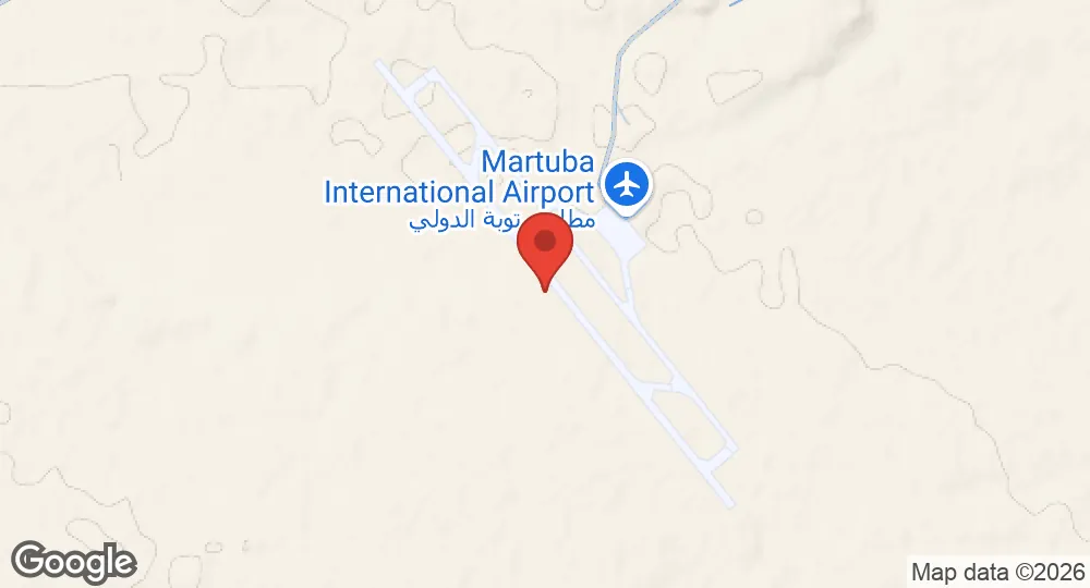
32.5417°N, 22.7444°E · 376 m elevation
| Operating Country | 🇱🇾 Libya |
| Location | 🇱🇾 Libya |
| Status | Active |
| Usage | Dual |
| Operating Organization | Libyan Air Force |
| Units |
57th Fighter Group
|
| Elevation | 376 m (1,234 ft) |
| IATA code | DNF |
| Runways |
14/32 · 3,620 m (11,877 ft) · Asphalt
|
Description
Martuba Airbase is a Libyan Air Force installation located in the Derna District of Libya, 27 kilometers south-southeast of Derna and 268 kilometers east-northeast of Benghazi.
During World War II, the facility operated as a military airfield. Following the British victory at El Alamein in 1942, the site experienced heavy fighting during the retreat of the Afrika Korps from the Egyptian border. During the North African Campaign against Axis forces, the United States Army Air Force 57th Fighter Group operated P-40 Warhawks from the airfield between November 16 and December 3, 1942.
The Libyan Air Force is the primary operator of the base. The installation is divided into two sections. The first section contains the main buildings and hangars, which house Mil Mi-2 and Mil Mi-8 helicopters. The second section comprises a flight-line containing taxiways, a ramp, and a single runway. This second section functions as a reserve facility and holds stored Aeritalia G.222 aircraft on the ramp. In addition to military operations, the base supports civilian transportation for oil field workers traveling to and from regional production facilities.
- AUG 132026 Updated Runway records recorded, with elevation, airport codes and official website
- AUG 132026 Created Martuba Airbase page created (specs, description, operators, static map)