McEntire Joint National Guard Base
Summary
| Operating Country | 🇺🇸 United States |
| Location | 🇺🇸 United States |
| Status | ◉ Active |
| Usage | Military only |
| Year built | 1943 |
| Operating Organization | US Air National Guard |
| Units |
|
Location & Details
| Coordinates | 33.9208°N, -80.8011°E |
| Elevation | 77 m (253 ft) |
| IATA code | MMT |
| ICAO code | KMMT |
| Runways |
|
Description
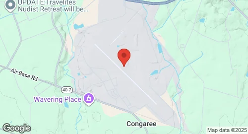
McEntire Joint National Guard Base (IATA: MMT, ICAO: KMMT) is a military airport situated in Richland County, South Carolina, United States, approximately 10 miles west of Eastover and 15 miles southeast of Columbia. It is owned by the U.S. Air Force and is affiliated with the South Carolina Air National Guard (SCANG).
The base was constructed in 1943, initially known as Congaree Army Airfield. It served various Army dive bombing training units from January 1943 until May 1944. Subsequently, it was transferred to the United States Navy and commissioned as Marine Corps Auxiliary Airfield Congaree on July 10, 1944, hosting Marine Aircraft Group 52 (later MAG-92) for F4U Corsair training. After World War II, all Marine units departed by November 1945.
The base was later transferred to the South Carolina Air National Guard and renamed McEntire Air National Guard Base in October 1961, honoring Brigadier General Barnie B. McEntire, Jr. In 2005, it was redesignated McEntire Joint National Guard Station to reflect the presence of both Army and Air National Guard units.
The primary unit stationed at McEntire JNGB is the 169th Fighter Wing, which operates F-16 Fighting Falcon aircraft. The 169th Fighter Wing transitioned to the F-16C/Block 52 in 1994, having previously flown F-16A, A-7 Corsair II, F-102 Delta Dagger, F-104 Starfighter, P-51 Mustangs, F-80 Shooting Stars, and F-86 Sabre aircraft. The 245th Air Traffic Control Squadron is also located here. Additionally, the 59th Aviation Troop Command of the South Carolina Army National Guard is based at McEntire JNGB, operating UH-60M Blackhawk and AH-64A Apache helicopters. The base features two runways: 14/32, measuring 2,746.1 meters with a porous European mix surface, and 18/36, measuring 1,371.6 meters with a concrete surface.