Facility Details
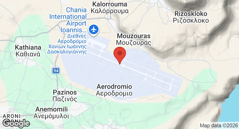
35.5317°N, 24.1497°E · 149 m elevation
| Operating Country | 🇬🇷 Greece |
| Location | 🇬🇷 Greece |
| Status | Active |
| Usage | Dual |
| Year built | 1870 |
| Operating Organization | NATO |
| Units |
US forces
|
| Elevation | 149 m (489 ft) |
| IATA code | CHQ |
| ICAO code | LGSA |
| Runways |
11L/29R · 3,347 m (10,981 ft) · Asphalt
|
Description
Souda is located in the Chania regional unit of Crete, Greece, 6.5 kilometers east of central Chania at the head of Souda Bay. The municipal unit encompasses an area of 22.007 square kilometers. The settlement was established in the 1870s by Ottoman authorities on terrain previously used for salt production. The harbor is a natural deep-water port in the Mediterranean. The Allied War Cemetery at Souda contains 1,527 graves of British, New Zealander, and Australian personnel from World War II.
The installation operates as a naval base for NATO. Command functions for United States forces are located on the Akrotiri peninsula across the bay from the main port. Facilities include military accommodation and a hospital. The presence of the military installation imposes land-use restrictions on the construction of housing and apartments in the surrounding area.
- SEP 182026 Updated ICAO and IATA codes, elevation and runway recorded; coordinates moved to the airfield
- JAN 192026 Created Page created: Souda Air Base