Barnes Air National Guard Base
Barnes Air National Guard Base (ICAO KBAF) is an active joint civil-military airfield in Massachusetts, United States, operated by the US Air National Guard. It has 2 runways (longest 2,743 m). Home to the 104th Fighter Wing.
Facility Details
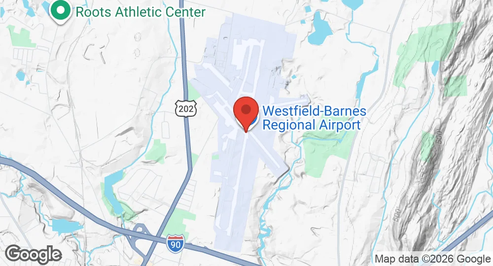
42.1581°N, 72.7158°W · 82 m elevation
| Operating Country | 🇺🇸 United States |
| Location | 🇺🇸 United States |
| Status | Active |
| Usage | Dual |
| Year built | 1923 |
| Operating Organization | US Air National Guard |
| Units |
104th Fighter Wing
|
| Elevation | 82 m (269 ft) |
| IATA code | BAF |
| ICAO code | KBAF |
| Runways |
02/20 · 2,743 m (8,999 ft) · Asphalt15/33 · 1,524 m (5,000 ft) · Asphalt
|
| Website | www.barnesairport.com/ |
- 15 km Westover Air Reserve Base 439th Airlift Wing
- 24 km Bradley Air National Guard Base 103rd Airlift Wing
- 122 km Hanscom Air Force Base 66th Air Base Group
- 125 km Quonset Point Air National Guard Station 143rd Airlift Wing
- 126 km Stratton Air National Guard Base 109th Airlift Wing
- 135 km Stewart Air National Guard Base 105th Airlift Wing
 104th Fighter Wing
Description
Barnes Air National Guard Base is a joint civil-military installation located in Hampden County, Massachusetts, three miles north of Westfield and northwest of Springfield. The site originated as Camp Bartlett, a training facility for the Massachusetts Army National Guard from 1905 to 1918. During World War I, the federal government utilized the location as a mobilization and training camp for the 103rd and 104th Infantry Regiments of the 26th Division.
The airport was established in 1923 on land donated by Vincent E. Barnes and dedicated as Westfield Aviation Field. In 1936, the facility was renamed Barnes Municipal Airport following additional land donations. Infrastructure development in 1939 and 1940 included the construction of an administration building and hangar. The facility hosted commercial operations by American Airlines and Mohawk between 1938 and 1959. An Air Traffic Control Tower was commissioned in 1974.
The base is the home of the 104th Fighter Wing of the Massachusetts Air National Guard. It operates as a fighter jet and support installation within a 1,200-acre complex. The base hosts squadrons of fighter aircraft and maintains infrastructure to support these operations, including a terminal and administration building and specialized hangars. As of May 2024, infrastructure projects included the expansion of Taxiway B South to support F-35 operations. The installation also houses the Westfield Aviation Museum, which contains a collection of vintage military and training aircraft.
- AUG 132026 Updated Runway designations, surfaces and lengths recorded
- APR 112026 Updated Description updated in a site-wide editorial pass
- JAN 122026 Updated Sources and cross-references refreshed
- JUL 12025 Updated Airbase data reviewed and updated