Facility Details
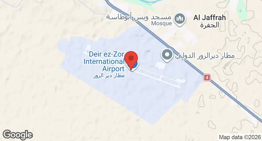
35.2853°N, 40.1758°E · 213 m elevation
| Operating Country | 🇸🇾 Syria |
| Location | 🇸🇾 Syria |
| Status | Active |
| Usage | Dual |
| Operating Organization | General Authority of Civil Aviation |
| Elevation | 213 m (699 ft) |
| IATA code | DEZ |
| ICAO code | OSDZ |
| Runways |
10/28 · 3,000 m (9,843 ft) · Asphalt
|
| Website | deirezzorairport.gov.sy |
Description
Deir ez-Zor Airport is located 10 km southeast of Deir ez-Zor, Syria, in the Euphrates River valley on the eastern edge of the Syrian desert. The British established the facility during World War II under the designation LG-416. Prior to the Syrian civil war, commercial airlines operated flights connecting the site to destinations including Damascus, Aleppo, Bahrain, and Kuwait City.
During the Syrian civil war, government forces used the airport to launch heavy artillery and missile strikes into Deir ez-Zor in October 2012 before rebel forces surrounded the perimeter in November 2012. Forces of the Islamic State of Iraq and the Levant captured a missile battalion northeast of the installation and stormed the airfield in December 2014, but failed to capture the base. In September 2017, the Syrian Army's 17th Division and Tiger Forces, supported by Russian Aerospace Forces airstrikes, conducted an offensive that broke the siege of the airfield.
The government-owned facility is operated by the General Authority of Civil Aviation. Rehabilitation works at the airport were completed in May 2026, enabling the resumption of commercial flight operations to Damascus and Kuwait City by Syrian Air and Jazeera Airways.
- AUG 132026 Updated Runway designations, surfaces and lengths recorded
- AUG 112026 Created Page created: Deir ez-Zor Airport