Facility Details
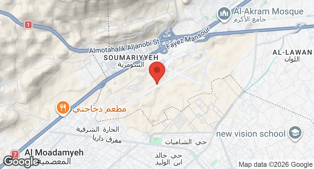
33.4778°N, 36.2233°E · 734 m elevation
| Operating Country | 🇸🇾 Syria |
| Location | 🇸🇾 Syria |
| Status | Closed |
| Usage | Dual |
| Year closed | 2024 |
| Operating Organization | General Authority of Civil Aviation |
| Elevation | 734 m (2,408 ft) |
| Runways |
01 · 2,517 m (8,258 ft)
|
Description
Mezzeh Air Base is located in Mezzeh, southwest of central Damascus, Syria.
During World War II, the facility operated as a base for the Vichy French Air Force, which allowed German access to the site. On 19 May 1941, British aircraft bombed the airfield, destroying Potez 63 aircraft and Potez 25 biplanes. Following Syrian independence in 1946, control transferred to the Syrian Air Force. By late 1957, the base hosted two squadrons of MiG-17 fighters tasked with defending the capital. In 1966, the facility was designated as the headquarters for the Defense Companies.
On 13 October 1973, during the Yom Kippur War, Israeli Air Force strikes targeted base infrastructure and helicopters. During the Syrian Civil War, the base hosted elements of the Republican Guard, Special Forces, and Air Force Intelligence Directorate, and served as a private flight facility for the Assad family. Base infrastructure included artillery and rocket positions, as well as a detention facility used for the imprisonment and torture of political dissidents. Syrian authorities reported an attack on the facility attributed to Israel on 13 January 2017. On 8 December 2024, Israeli airstrikes destroyed the installation. Control of the site passed to the General Authority of Civil Aviation in 2025.
- AUG 132026 Updated Runway designations, surfaces and lengths recorded
- AUG 112026 Created Page created: Mezzeh Air Base