Facility Details
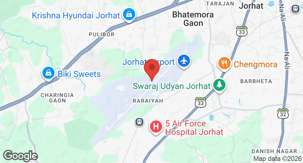
26.7317°N, 94.1756°E · 95 m elevation
| Operating Country | 🇮🇳 India |
| Location | 🇮🇳 India |
| Status | Active |
| Usage | Dual |
| Year built | 1950 |
| Operating Organization | Indian Air Force |
| Units |
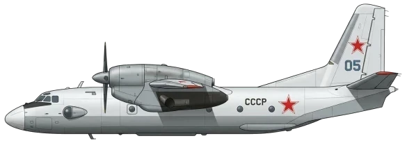
An-32 transport aircraft squadronsNo. 43 SquadronNo. 49 Squadron
|
| Elevation | 95 m (312 ft) |
| IATA code | JRH |
| ICAO code | VEJT |
| Runways |
04/22 · 2,743 m (8,999 ft) · Concrete
|
| Website | www.aai.aero/en/airports/jorhat |
Description
Jorhat Airport, also known as Rowriah Airport, is a domestic airport serving Jorhat and Golaghat in Assam, India. It was established in the early 1950s. Jorhat Air Force Station (AFS) is the Indian Air Force's first air base in the East. It functions primarily as a transport base, supporting airdrop operations in the Naga Hills of Nagaland and Arunachal Pradesh. The base is equipped with two squadrons of An-32 transport aircraft, which provide air logistics to the Kameng, Subansiri, Siang, Lohit, and Tirap districts of Arunachal Pradesh. The airport is operated by the Airports Authority of India for civilian operations and by the Indian Air Force for military operations. In 2022, the Government of Assam approved land acquisition for the airport's expansion.
- AUG 212026 Updated Recorded the unit operating this aircraft type
- AUG 142026 Updated Based aircraft recorded: An-32 Cline
- AUG 132026 Updated Facility details recorded (official website, elevation, airport codes)
- AUG 12026 Updated Runways and units updated
- APR 82026 Updated Sources and cross-references refreshed