Facility Details
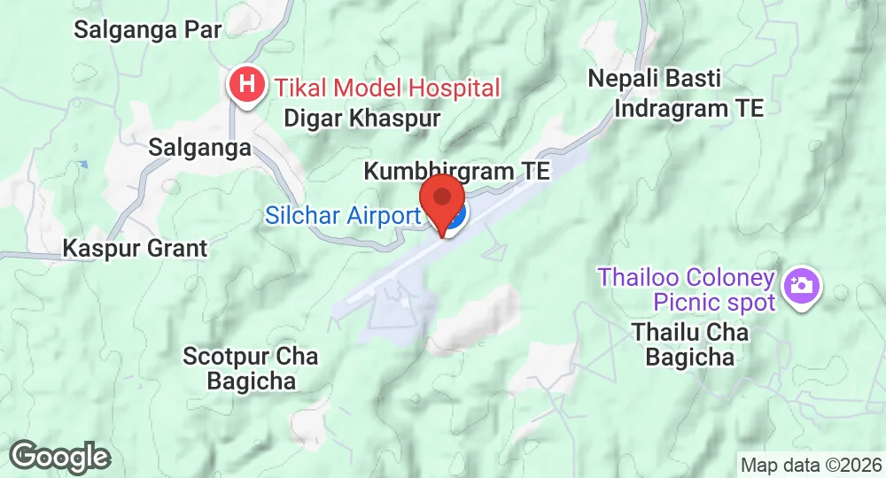
24.9131°N, 92.9786°E · 107 m elevation
| Operating Country | 🇮🇳 India |
| Location | 🇮🇳 India |
| Status | Active |
| Usage | Dual |
| Year built | 1944 |
| Operating Organization | Indian Air Force |
| Units |
Indian Air ForceNo. 110 Helicopter Unit
|
| Elevation | 107 m (351 ft) |
| IATA code | IXS |
| ICAO code | VEKU |
| Runways |
06/24 · 2,286 m (7,500 ft) · Asphalt
|
Description
Silchar Airport, also known historically as RAF Station Kumbhirgram, was built by the British in 1944 and subsequently transferred to the Royal Indian Air Force (RIAF). It operates as a civil enclave airport under the control of the Indian Air Force, with operations managed by both the Indian Air Force and the Airports Authority of India. The airport is located at Kumbhirgram, approximately 29 km from the city center of Silchar, Assam, India. It features a single domestic terminal and a runway capable of handling aircraft such as the Boeing 737 and Airbus A320. The runway is equipped with a precision approach path indicator (PAPI) and an instrument landing system (ILS). Indian Oil provides aviation fuel services. The airport serves as a public and military facility.
- AUG 212026 Updated Recorded the unit operating this aircraft type
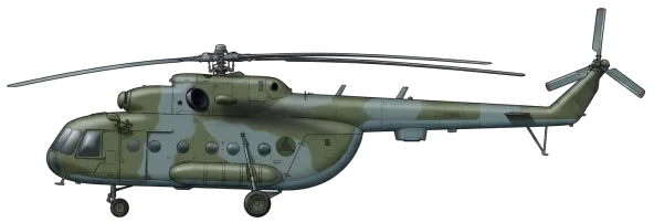
- AUG 142026 Updated Based aircraft recorded: Mi-8 Hip
- AUG 132026 Updated Runway records reconciled against aeronautical sources
- AUG 12026 Updated Runways and units updated
- APR 82026 Updated Sources and cross-references refreshed