SLAF Ampara (Gal-Oya Airport)
SLAF Ampara (also Gal-Oya Airport; ICAO VCCG) is an active joint civil-military airfield in Sri Lanka, operated by the Sri Lanka Air Force. It has 1 runway (1,097 m). Home to Regimental Training Center.
Facility Details
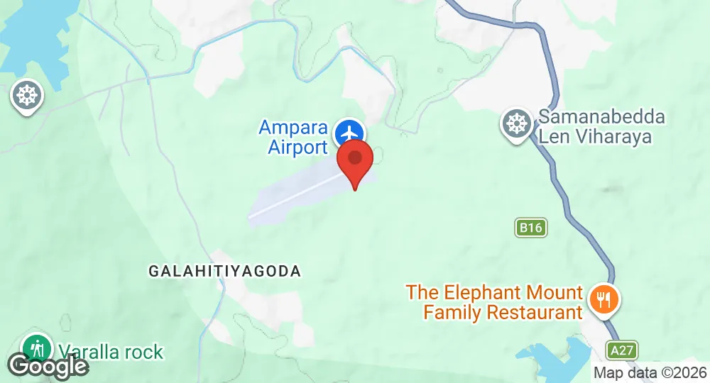
7.3369°N, 81.6303°E · 46 m elevation
| Operating Country | 🇱🇰 Sri Lanka |
| Location | 🇱🇰 Sri Lanka |
| Status | Active |
| Usage | Dual |
| Year built | 1989 |
| Operating Organization | Sri Lanka Air Force |
| Units |
Regimental Training Center
|
| Elevation | 46 m (151 ft) |
| IATA code | ADP |
| ICAO code | VCCG |
| Runways |
07/25 · 1,097 m (3,599 ft) · Asphalt
|
Description
SLAF Ampara, also known as Ampara Airport and Gal-Oya Airport, is a military airbase and domestic civil airport located in Gal-Oya, 8.1 kilometers northwest of the town of Ampara in southeastern Sri Lanka. The facility originated in the 1950s as an airstrip constructed near Uhana by the Gal Oya Development Board. Military presence at the site commenced on 19 December 1989 when a Sri Lanka Air Force detachment relocated from SLAF Katunayake.
The facility is owned by the Government of Sri Lanka and operated by the Sri Lanka Air Force. Infrastructure at the airbase includes the Regimental Training Center, which opened in July 2000. In its civil aviation role, the airport handles domestic passenger flights to Colombo-Ratmalana operated by Helitours, alongside charter flights on the same route operated by FitsAir.
- AUG 132026 Updated Facility details completed (construction year, usage, host country)
- AUG 132026 Updated Runway designations, surfaces and lengths recorded
- AUG 112026 Created Page created: SLAF Ampara